
No Fly Zones for Drones in the UK
Ever asked yourself "Where can't I fly my drone in the UK?" or "What does a Flight Restriction Zone mean?" NoFlyDrones.co.uk can help. Your free, easy to use tool showing no fly zones in the UK. We use the rules and regulations of the UK Air Navigation Order (CAP393) to present a simple graphical tool to aid safe flight planning for hobbyists and professional drone operators alike.
Updated with February 2025 ZONES
UK DRONE REGULATIONS FIND OUT MORE HERE


Danger Areas & HIRTA's
Restricted Areas
User Requested Zones
Prohibited
Drone No Fly Zones Key
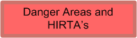
Danger Areas are areas of military airspace often used for activities such as fighter pilot training, live ammunition training or weapons and systems testing (including GPS jamming exercises). The official definition is “An airspace of defined dimensions within which activities dangerous to the flight of aircraft may exist at specified time”. HIRTA’s are High Intensity Radio Transmission Areas and flying through these areas could interfere with the electronics on board your drone.

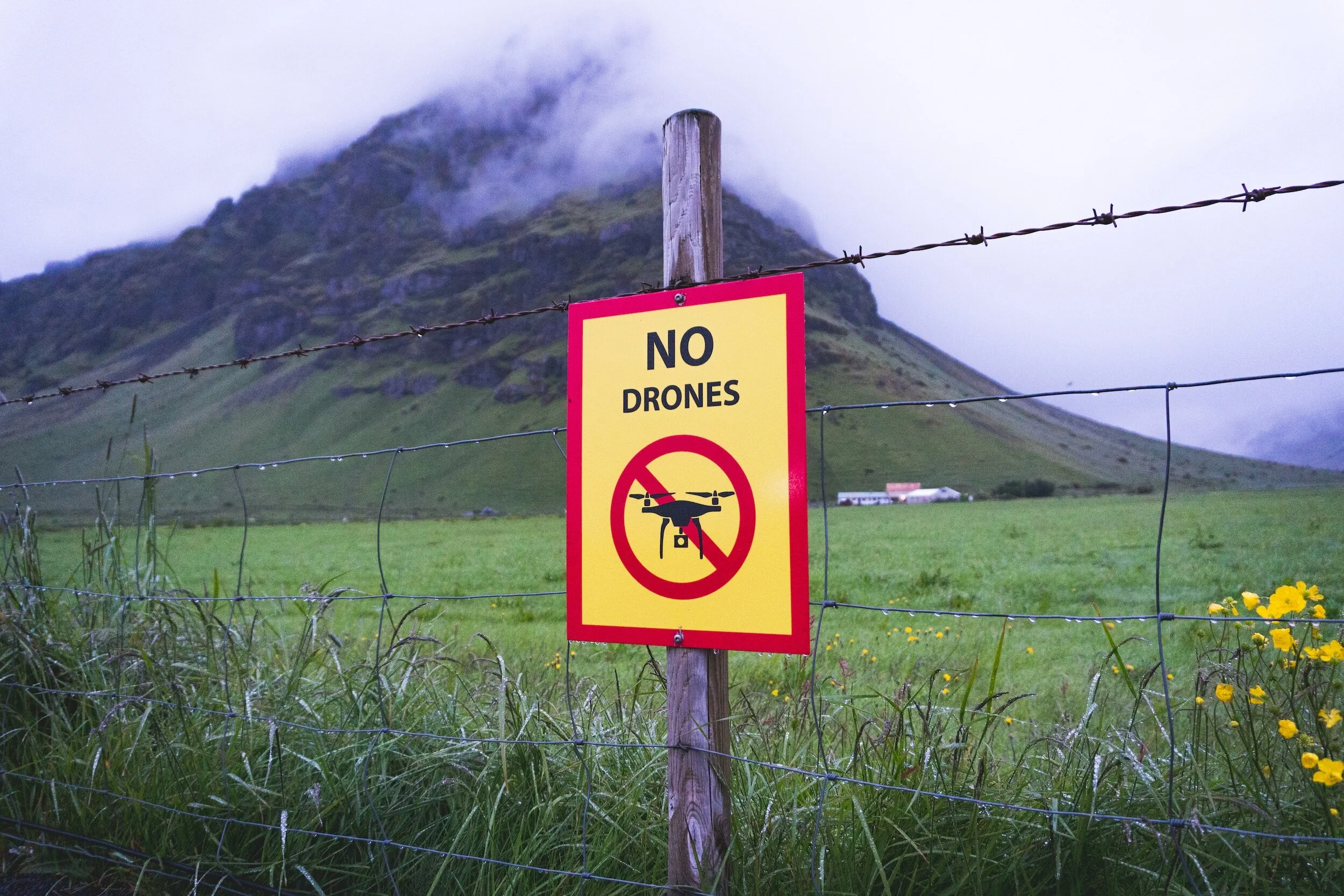
Prohibited Areas are areas of airspace which for one reason or another have been prohibited from having aircraft enter them. The official definition is “An airspace of defined dimensions above the land areas or territorial waters of a State within which the flight of aircraft is prohibited” You will have to investigate the NATS AIP for more information about why the area is prohibited.
Flight Restriction Zones have strict restrictions on drones. Further information can be found on the CAA website here.
Permission for a flight, or a part of a flight, by a small unmanned aircraft in the flight restriction zone of a protected aerodrome is required:
(a) from any air traffic control unit at the protected aerodrome, if the flight, or the part of the flight, takes place during the operational hours of the air traffic control unit;
(b) from any flight information service unit at the protected aerodrome, if the flight, or the part of the flight, takes place during the operational hours of the flight information service unit and either (i) there is no air traffic control unit at the protected aerodrome, or (ii) the flight, or the part of the flight, takes place outside the operational hours of the air traffic control unit at the protected aerodrome;
(c) from the operator of the protected aerodrome, if (i) there is neither an air traffic control unit nor a flight information service unit at the protected aerodrome; or (ii) the flight, or the part of the flight, takes place outside the operational hours of any such unit or units at the protected aerodrome.

The round blue areas indicate other Aerodromes and Airports not covered by the Flight Restriction Zones. These are usually smaller airports and aerodromes. If you are operating a drone in these areas you should consider whether you need to contact ATC in order to ensure the flight can be made safely.

Restricted Areas protect sensitive locations such as prisons and nuclear facilities. The official definition is “An airspace of defined dimensions above the land areas or territorial waters of a State within which the flight of aircraft is restricted in accordance with certain specified conditions”

These are zones requested by you to be added to the site. Where possible contact details have been added to give drone pilots an opportunity to contact land owners/business owners to arrange a safe drone flight.
About
NoFlyDrones is a free tool to aid in understanding the airspace in which you are planning to fly your drone, unmanned aircraft system (UAS) or remotely piloted aircraft system (RPAS). Our sole aim is promoting safe small drone operations in the UK. Whether you’re just starting up as a drone operator or a veteran model aircraft pilot, it pays to check the airspace before you fly.
READ BEFORE USE
This website is an aid to unmanned aircraft flight planning only it does not replace the mandatory tools and checks required before flight (e.g. NOTAMS, Official Airspace Charts etc.). The data has been derived from official sources (except “Requested” zones) however we don’t claim it is fully up to date/correct and this website has not been certified by any governing body and used at your own risk. Please also consider any local by-laws that may forbid the use of drones in areas not depicted on the map (such as royal parks etc.).
This site is maintained in my spare time. Please support NoFlyDrones.co.uk and buy me a Coffee: